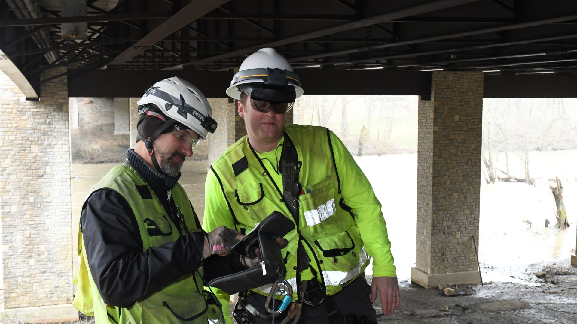
We design roads, buildings, bridges, sewers and treatment plants. We inspect, study, develop and plan. We have pioneered new technologies and techniques – including breakthroughs in water treatment and new approaches to bridge inspection. As technology evolves, we continue to apply innovative and cost-effective solutions on behalf of our clients, including the use of alternative delivery methods. These collaborative approaches offer flexibility to manage risk, streamline schedules and meet performance goals while maintaining budget discipline.
Architecture
Integrated approach to streamline delivery and costs.
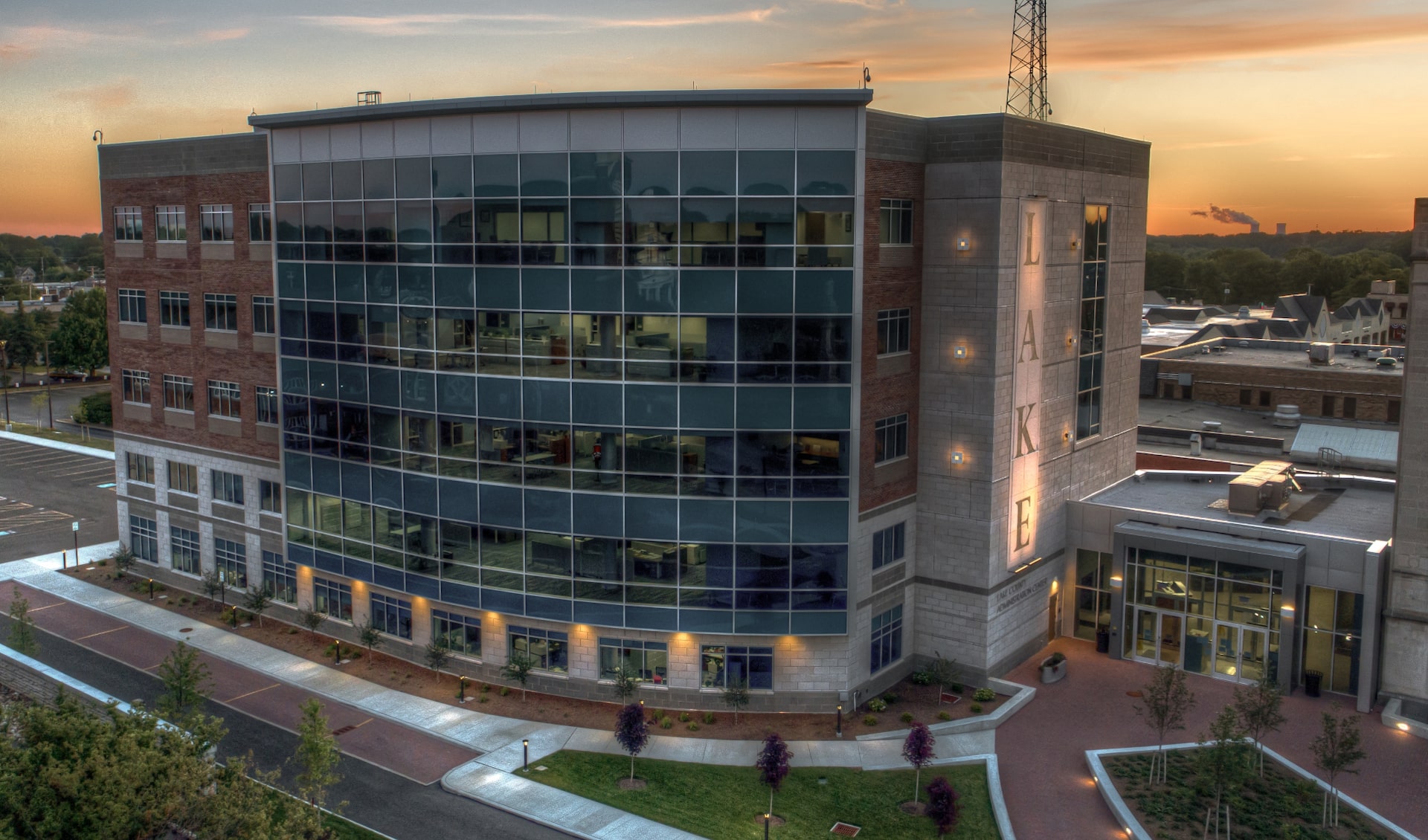
Our multidisciplinary team of architects and engineers allows us to be highly efficient and cost effective with the designs we deliver. With projects located around the world, we have experience using all commercial construction types and designing for all climates and seismic zones.
Environment
From assessment through remediation, B&N can help.
Let us be your guide. With extensive knowledge of regulations combined with the technical expertise of our environmental staff, we help clients navigate the regulatory process, protect investments, and preserve natural resources.
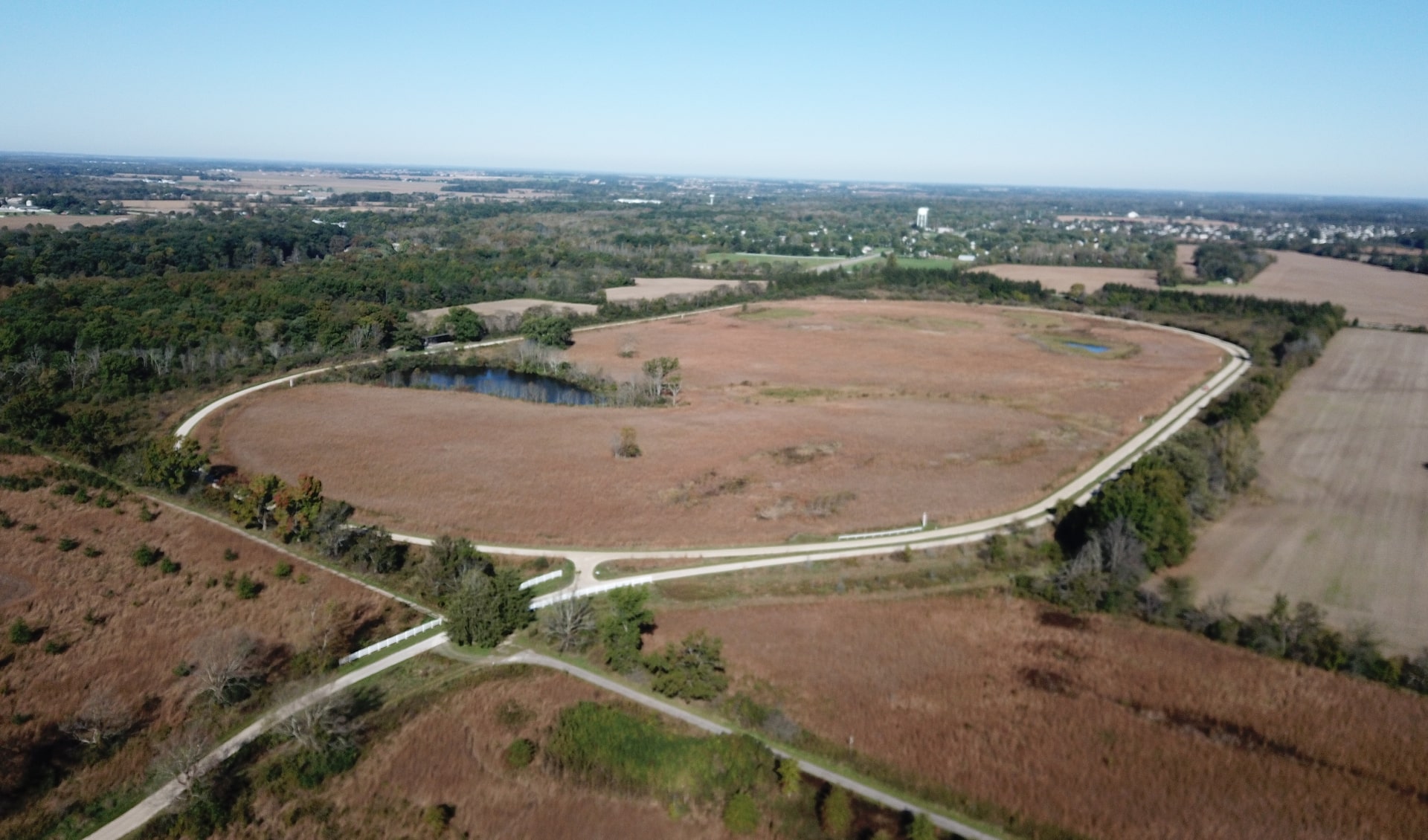
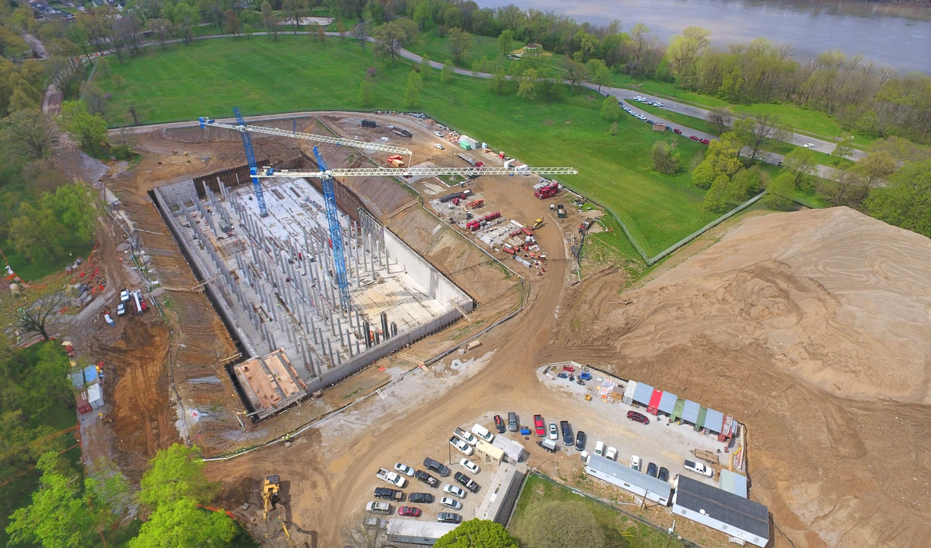
Land Development
Turnkey land use solutions that keep projects on track.
We hear you. Our comprehensive land use solutions start with a clear understanding of project goals and schedules. From there our engineers, planners, and surveyors work closely with the project owner’s team to simplify processes and ensure quality across the board.
Mechanical, Electrical & Plumbing
Smart solutions, powered by expertise.
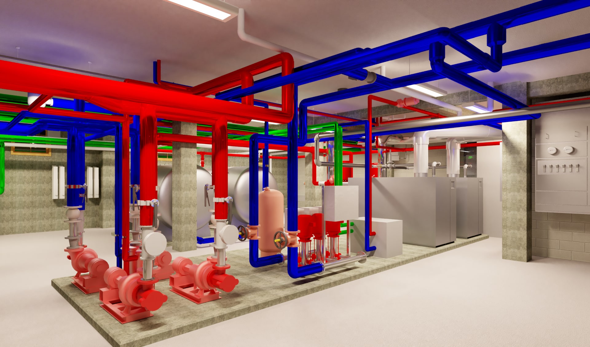
Every building has its own story. Our team collaborates with clients to provide comprehensive MEP services that span the entire
project lifecycle for a diverse range of market sectors and facility types.
Transportation
Our drive makes yours easier.
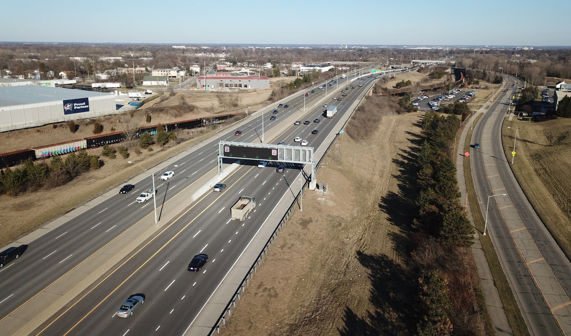
Our thought leaders are ahead of the curve when it comes to complex transportation challenges. Their expertise combined with the latest technology results in solutions that help ease congestion, improve access, reduce accidents, and expedite travel.
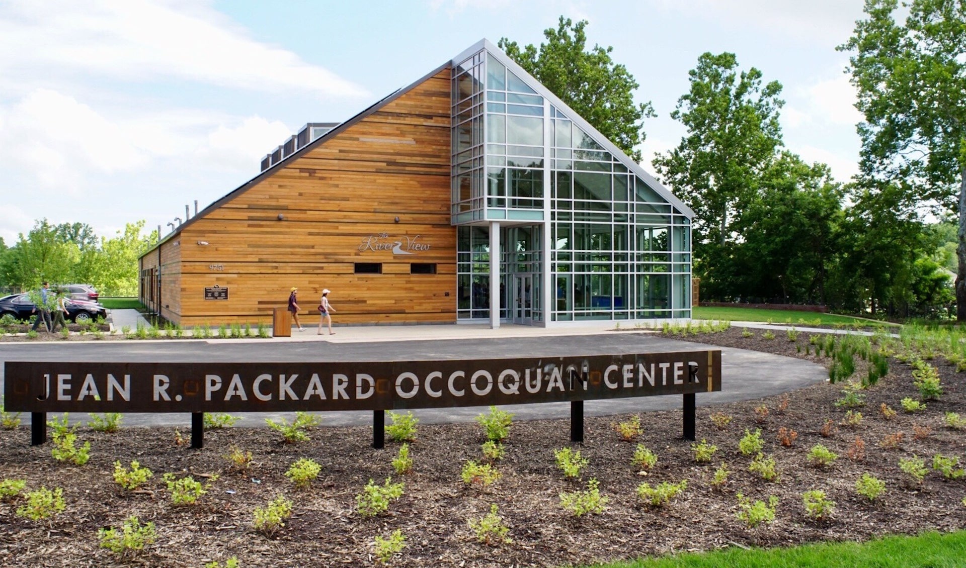
Water
Some of our best work is never seen.
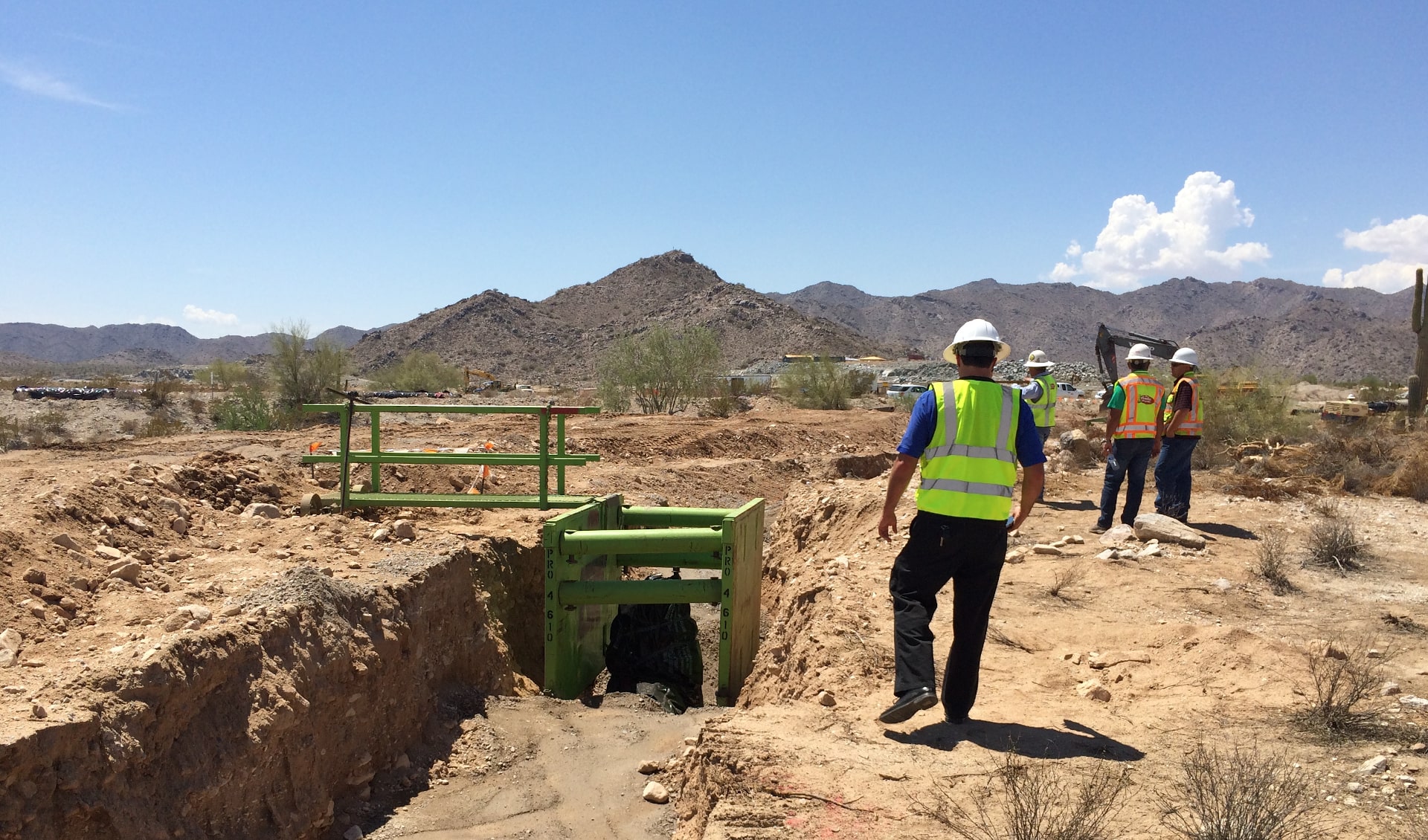
Our work might not always be visible, but it’s there…helping to ensure high-quality drinking water, successful water and wastewater treatment, and effective stormwater management.
Data & Technology
Data-driven insight for complex infrastructure.

Smarter decisions start with better data. B&N integrates geospatial technology, digital modeling and advanced analytics to help clients understand complex systems, reduce risk and plan with confidence.
Alternative Delivery
Your vision delivered differently.
B&N’s alternative delivery approach streamlines design and construction, driving collaboration, efficiency and cost savings. Partnering with trusted agencies and contractors, we deliver innovative, high-quality solutions that exceed expectations.